

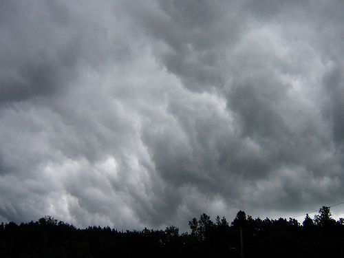
The National Weather Service says it’s time to have a plan in place to keep yourself safe during the severe storms that are expected Wednesday.
Springfield remains at an enhanced risk for damaging weather, with winds of 75 miles an hour or more seen as the greatest threat. But the weather service says there is also potential for large hail of more than two inches in diameter, tornadoes of EF-2 or greater, and flooding rains. The likeliest time for severe weather is from 1 to 6pm Wednesday for areas west of Interstate 55… and 3 to 8pm for communities to the east.
Check regularly with WMAY and wmay.com for updates on the approaching storm front.